
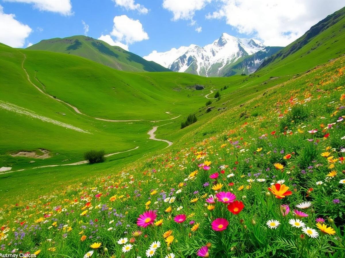
Chopta Tungnath Trek
Trek to the highest Shiva temple in the world
- Duration
- 3 days
- Max altitude
- 12,110 ft
- Difficulty
- Easy
- Best season
- Year-round
About Chopta Tungnath Trek
Trek Itinerary
- 1Day 1
Dehradun to Chopta
Drive from Dehradun to Chopta. Distance: 200 km (approx). Drive time: 7-8 hours. Altitude: 8,600 ft.
- 2Day 2
Chopta to Tungnath, Chandrashila and back to Chopta
Trek from Chopta to Tungnath Temple, further to Chandrashila Peak, and return to Chopta. Distance: 5 km (trek). Trek time: 5-6 hours. Altitude: 12,110 ft.
- 3Day 3
Chopta to Dehradun
Drive back from Chopta to Dehradun. Distance: 200 km (approx). Drive time: 7-8 hours. Altitude: 8,600 ft.
Elevation profile
Peaks at 12,110 ftIndicative profile. Actual daily gain depends on weather and acclimatization pace.
What's included
Not included
How to reach Uttarkashi region
Your base for this trek. Common pickup on Day 1 morning; drop-off on the last day evening.
- Airport: Jolly Grant (DED)
- Railhead: Dehradun / Haridwar
- Road: 8–10 hr from Dehradun. Shared Tempo Traveller included in the trek price.
Things to carry
The honest list: 8 kg on your back is plenty for this trek. Layers still matter: nights drop below 5 °C.
- Ankle-length waterproof trekking boots (worn in)
- Down or synthetic jacket rated to −10 °C
- Waterproof-breathable shell jacket
- Two full sets of thermal base layers
- Three pairs of merino or synthetic socks
- Insulated + liner gloves, wool cap, sun cap
- Category 3 UV sunglasses (Category 4 on snow above 4,000 m)
- One-litre insulated flask + one reusable water bottle
- Headlamp with fresh batteries
- Personal medication + basic strip (paracetamol, ORS, band-aids)
- Government photo ID (original)
- · Tents, sleeping bags and mats rated to trek altitude
- · Micro-spikes and gaiters on snow sections
- · Full medical kit with pulse oximeter and portable oxygen
Trek location
View on OpenStreetMapApproximate area: precise trailhead coordinates for this trek aren't available, so the pin shows the Garhwal region. No route track is mapped.
At a glance
- BasecampUttarakhand
- RegionGarhwal
- Best seasonN/A
- Max altitude12,110 ft
- Duration3 days